Campari Long Ride is a 100km loop trail that runs through the lesser-known valleys of the Bolognese and Pistoia Apennines, crossing stunning mountain villages, ancient forest paths and sectors of an old railway route now semi-unknown: the former Ferrovie Alto Pistoiese (FAP) which linked the small villages of these mountains. It is a path that aims to rediscover the local landscape which has seen the culture of iron working as the main protagonist on the work history of this land.

After a first stretch on a tarmac, the track proceed on a dirt climb that leads to the stone village of Torri, prior to the year 1000. We will move on a road surrounded by extensive beech and chestnut woods, interspersed with beautiful woods of fir and black pines. In some old walls the mummie (mummies, masks in this case) are still visible; a Celtic tradition of ancient forms with a human face carved on the walls that drive away evil spirits.
We will cross the beautiful ridge of Monte Calvario where the view on the Limentre mountains will open and we will descend to the Collina Pass towards the villages, close to the Reno river which is born right here, in the town of Prunetta. In these first 40 km there’s the main elevation gain of the entire route with various ups and downs on mixed terrain, interspersed with large sectors of compact dirt roads and singletracks with some medium difficulty technical sections. Highlight: the Campari Fountain in the Le Piastre town, the best preserved of the last three remaining in Italy. Unfortunately, only water comes out.


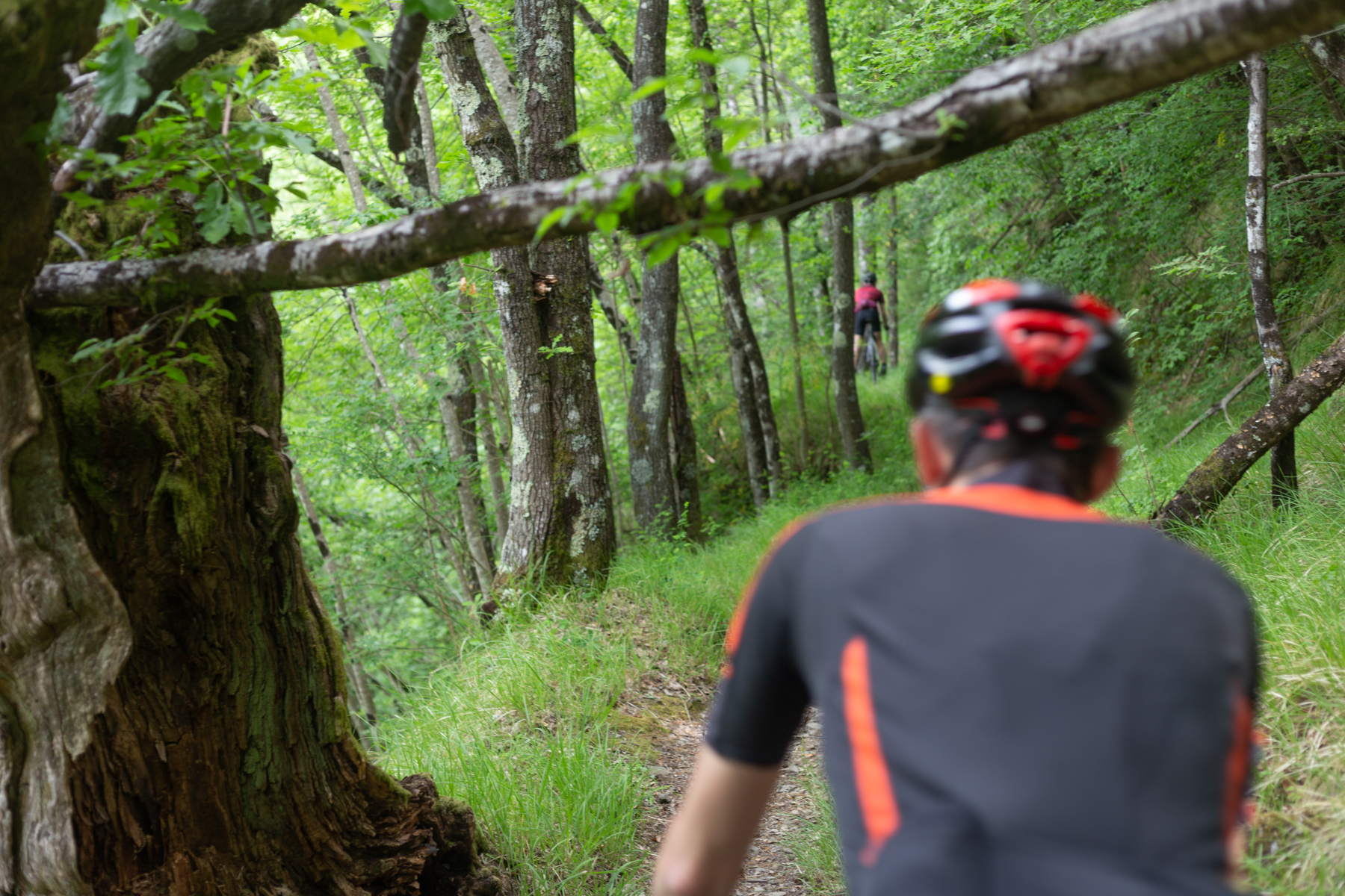
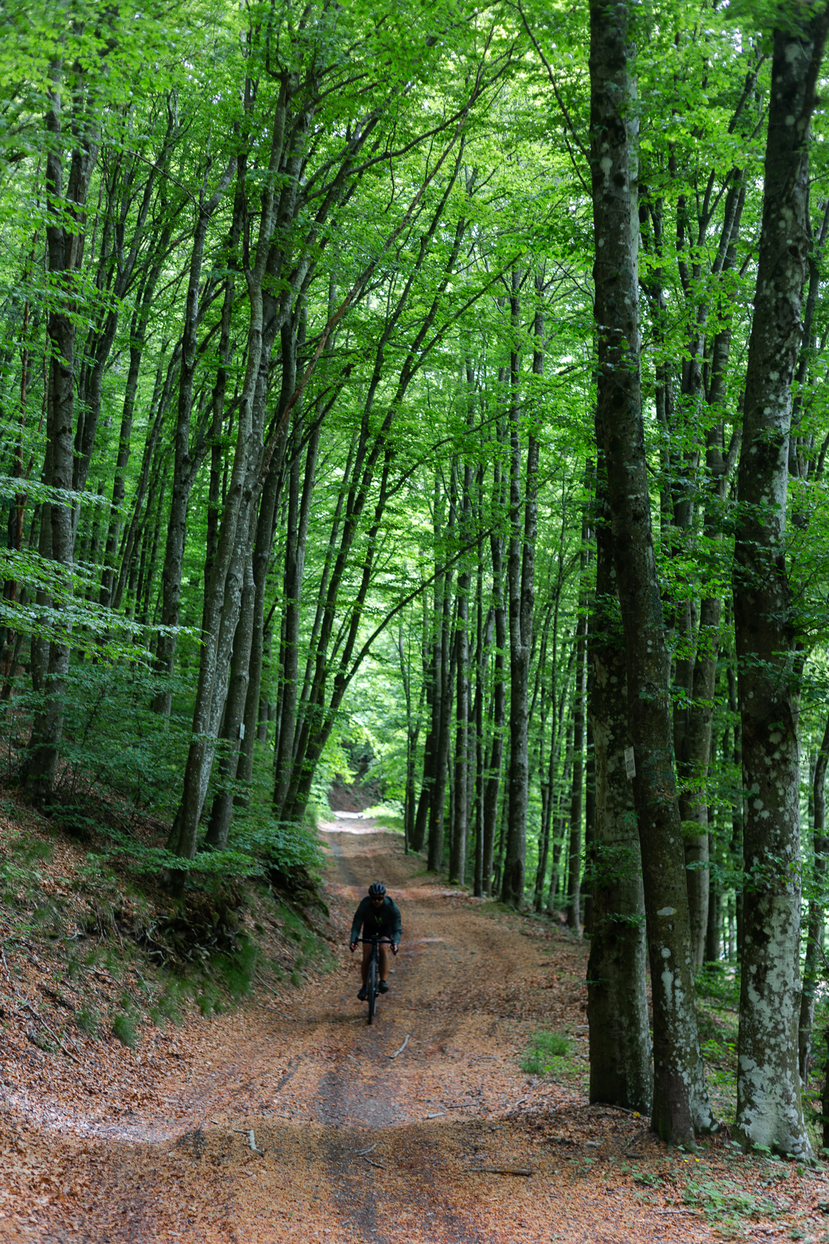

The surrounding landscape repay the price, giving us many moments of easy pedaling engulfed by the green of the woods and the beautiful views that open up on the mountains around us: from the whole Lima valley, to the ridges of Abetone as well as the peaks surrounding Lucchio.
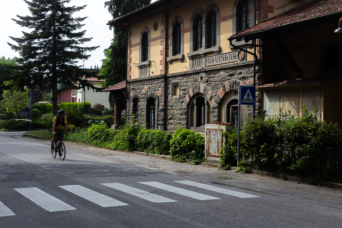
Special mention is the F.A.P. cycle path. A small railway built in 1926 to serve the towns of the Pistoia area, it is now a gravel road where we can admire the old tiny train stations in Art Nouveau style. The road has many panoramic spots that give ample breath to the view. The slopes around 4% ascent leave room for fun sectors of descent as soon as you cross the Oppio Pass.


From Pontepetri, the route approaches the border with Emilia and we will cycle on a low-traffic secondary road that runs through a large sector of the Upper Reno Valley, alongside the railway. It is a very pleasant stretch slightly downhill around the small villages of the Bolognese mountains, which rise on the steep banks of the Reno river. It is here that we will pass through the ancient town of Pracchia and the inhabited area of Biagioni, whose humpback bridge divides the two regions in about less than ten meters.
General infos
The track has many water points and different countries in which to take a break, taste the traditional dishes of the Tuscan-Emilian cuisine and visit the characteristic inhabited centers of the old hamlets. The best period is from late spring to September, paying attention to the warmer months.
However, we suggest to ride the track in two days in late autumn in order to appreciate the maximum splendor of the reddish shades of the woods. The route is very smooth, with various stretches of tarmac, long dirt roads and short sections of single-tracks that requires good handle. We also recommend a gravel bike with tire sections no less than 35mm.
Transports
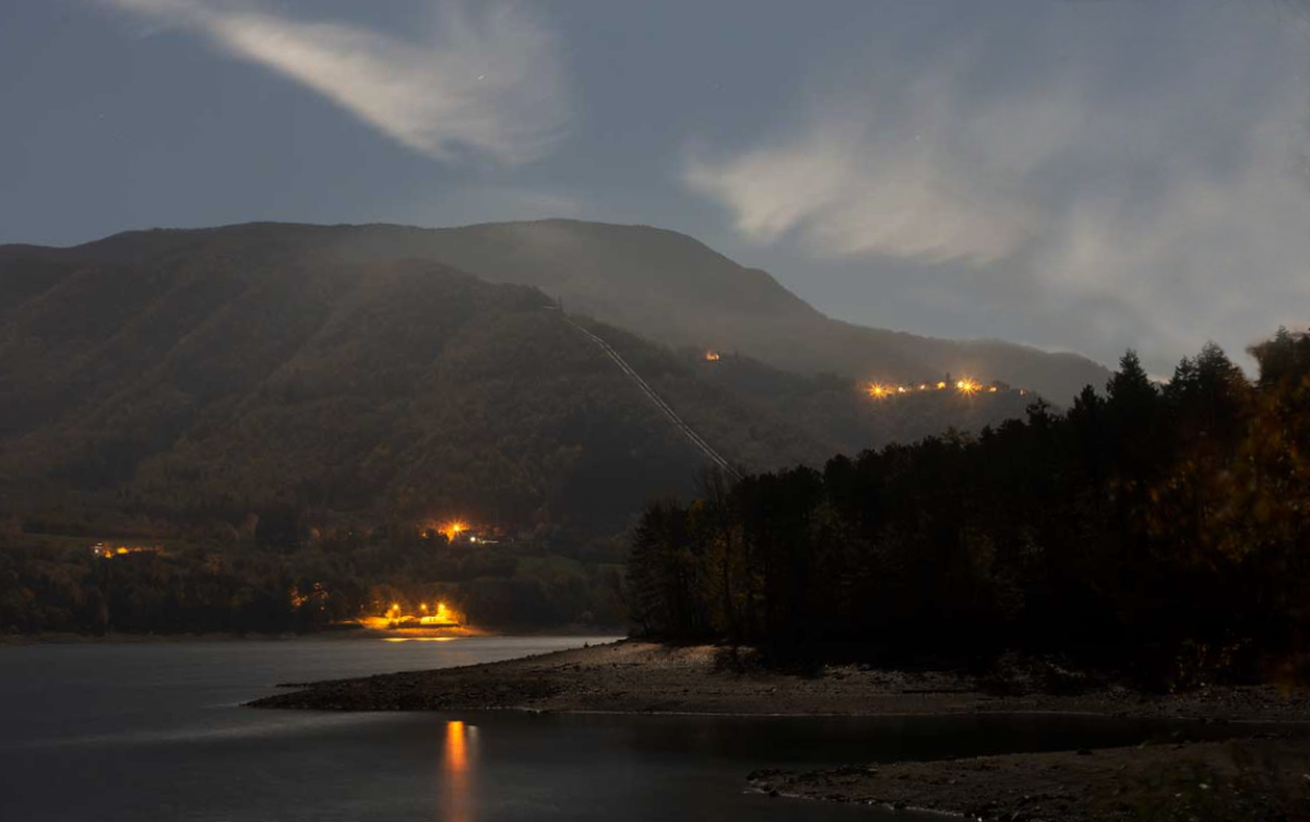
The ruote start in Lake Suviana, reachable by car from Bologna in 50 minutes or by train + bike thanks to the Bologna-Porretta Terme train line. In this case, you have to take into account one hour on a tarmac road with acceptable slopes for reaching the lake from the Porretta Terme train station. Nearby the beginning of the track (Lake Suviana area) there are two campsites:

