Well before the construction of the Porrettana road, well before its progenitor Leopoldina, the mountain territories had a rather different road network. There was in fact a complex system of roads and paths strictly controlled by the customs that regulated access between the Grand Duchy of Tuscany and the Papal States. There were villages moreover that arose and were baptized precisely because of their role, as much customs as forgotten post stations. Doganaccia, Pòsola, Porta Franca, are all names that in these areas take on a very specific meaning.
We are on the last ridge that leads from Pistoia to Bolognese territory, on an ancient route that is part of the Via Francesca della Sambuca and that divides the Reno valley from the Limentre mountains. Once traveled by pilgrims on their way to Rome, the Via Francesca is a diversion of the better-known Via Francigena. From reliable sources it appears that this variant was the actual route connecting the Emilian and Tuscan territories, having the Passo della Collina as its main pass.
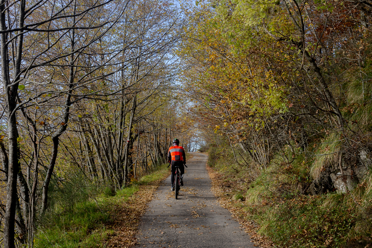
It is now a forest road, in places uneven, which gives way to several spots of asphalt neglected by the years and ground down by the weather. We are in an area that seems little traveled and considered by hikers, but which can offer remarkable views of both valleys, from the Corno alle Scale group to the mountains of the three Limentre.
Found in:
Silent Mountains
The mountains south of Bologna and north of Florence offer landscapes that seem to have very little of the Emilian or Tuscan style. Here we do not find the rolling hills or rows of cypress trees of the Sienese out-of-town, nor hints of the Florentine Renaissance.