There are many salt routes: ancient trade routes born of the need to connect territories far from the sea to the coasts, ensuring access to this precious resource. In some cases this need did not stop even in the face of territories that were anything but easy to cross.
Such is the case with the Alta Via del Sale, a section of the route connecting Cuneo to the coasts of Ventimiglia and western Liguria in the Maritime Alps. Due to wartime necessity, part of it was later widened and made carriageable by the Alpine troops in the early 1900s and the Ventimiglia-Cuneo railway line was built at the same time.

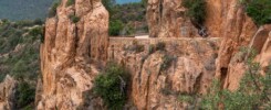
Here the Forte Maggiore towers and guards the Val Roja below, one of six forts built in the late 1800s by Italy as a deterrent to possible French attacks, testifying to the interest in these mountains and passes as high natural borders to be guarded. The road surface changes dramatically and we enter a new landscape.
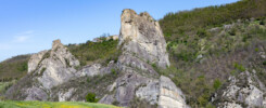
Kilometers of unpaved road that winds for a good part around 2,000 m above sea level, slicing through a lunar-like environment in such a harmonious and unobtrusive way that it seems to want to disturb us as little as possible. The Marguareis massif is in fact an extensive limestone block that returns a high-altitude karst landscape. Rough, arid and jagged, with a few rare pastures here and there, but with little vegetation, so forget any trees to give you shade.

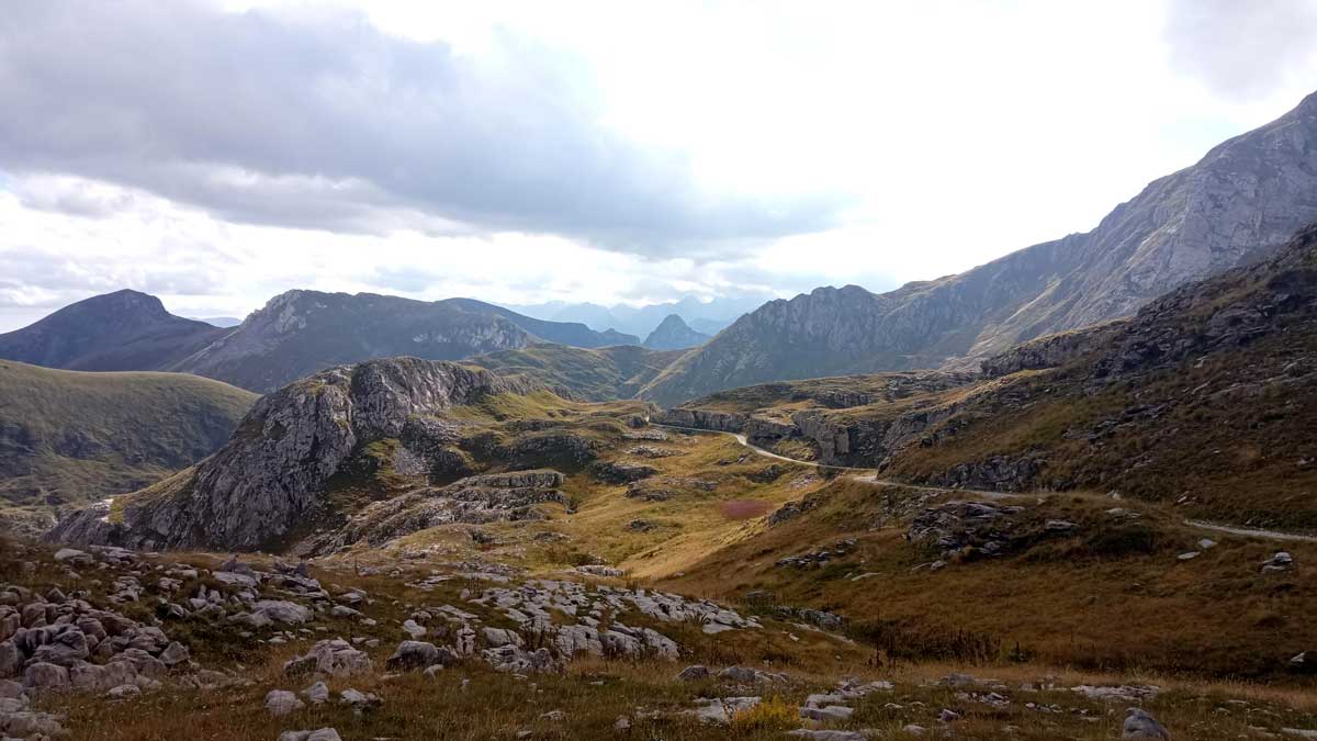
Crossing this heath with its rugged bottom and thin air, we reach the Don Barbera refuge, a must-see destination for hikers and an important foothold for the herdsmen and shepherds who still carry on one of the local traditions.
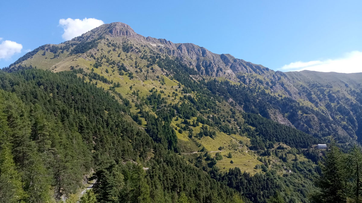
From now on the landscape changes dramatically. Having circumvented the last ridge of limestone rock, the terrain finally allows for the presence of an extensive needle-leaf forest that spreads as far as the eye can see as soon as we cross the ridge.
Through its comforting shade and with the rich underbrush vegetation as a backdrop, we continue halfway up the border ridge between Italy and France, a border that we briefly cross again at the Tanarello Pass, from where the view is truly breathtaking.
In addition to being able to admire the Mercantour massif, on the right days it is possible to see the entire Ligurian Apennine arc until we catch a glimpse of what appear to be the first peaks of the Emilian Apennines, the Gulf of Genoa, and the sea we are reaching.


Remaining to be overcome are Cima Marta, Monte Grai and Pietravecchia, the last mountains above 2,000m that we will caress uphill along their slopes, as opposed to the road surface that is unkind and welcoming to our wheels and arms. Road not exactly lovely and markedly bumpy even in the final downhill stretch that takes us from the Grai barracks to Colle Melosa, but compensated by the landscape that accompanies us to Lake Tenarda.
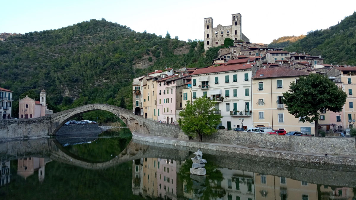
From here the smell of saltiness begins to be smelled and a long descent on asphalt begins, which we actually do not disdain at all. After all, the distance to the sea is short but the fatigue far from it, and the idea of a dip in the water gives us the impetus to end the crossing on the Nervia Valley provincial road, shaking off the dust and sweat in the waters of the Tyrrhenian Sea.


GENERAL INFOS
Limone and Ventimiglia are connected by a train line with four runs per day lasting about two hours. One can therefore reach either location by car and then use the train on the outward or return journey.
There are enough refreshment points, shelters and fountains along the route, but it is advisable to start with a good supply of at least 1.5 liters of water.
Due to the nature of the road surface, mountain biking or-if you like to suffer-in gravel with generous tires (starting with 40mm sections or larger) is recommended.